Select your product to confirm this information applies to you
Outdoor Maps Plus Premium Mapping Types
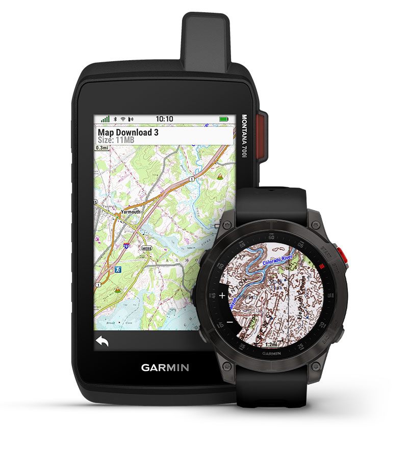
With an Outdoor Maps+ subscription plan, one subscription allows the following types of premium mapping content to be downloaded directly to any of your compatible Garmin devices via Wi-Fi. Available coverage varies for each premium map type.
NOTE: To use Outdoor Maps+ on a compatible Garmin device, the device software must be up to date. For instructions, see - Help with Product Updates.
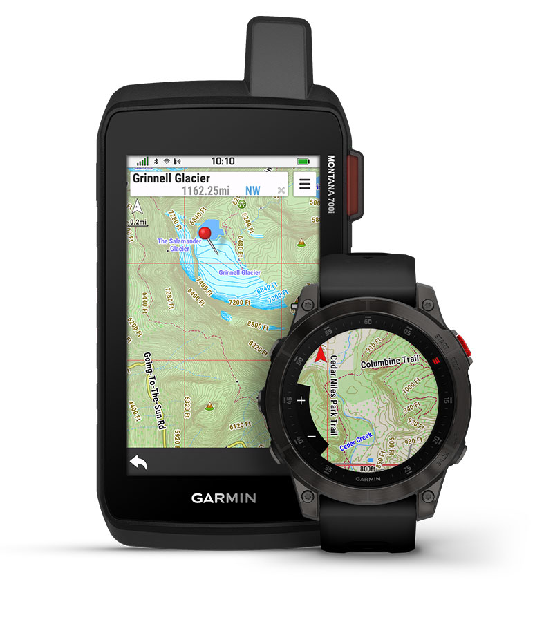
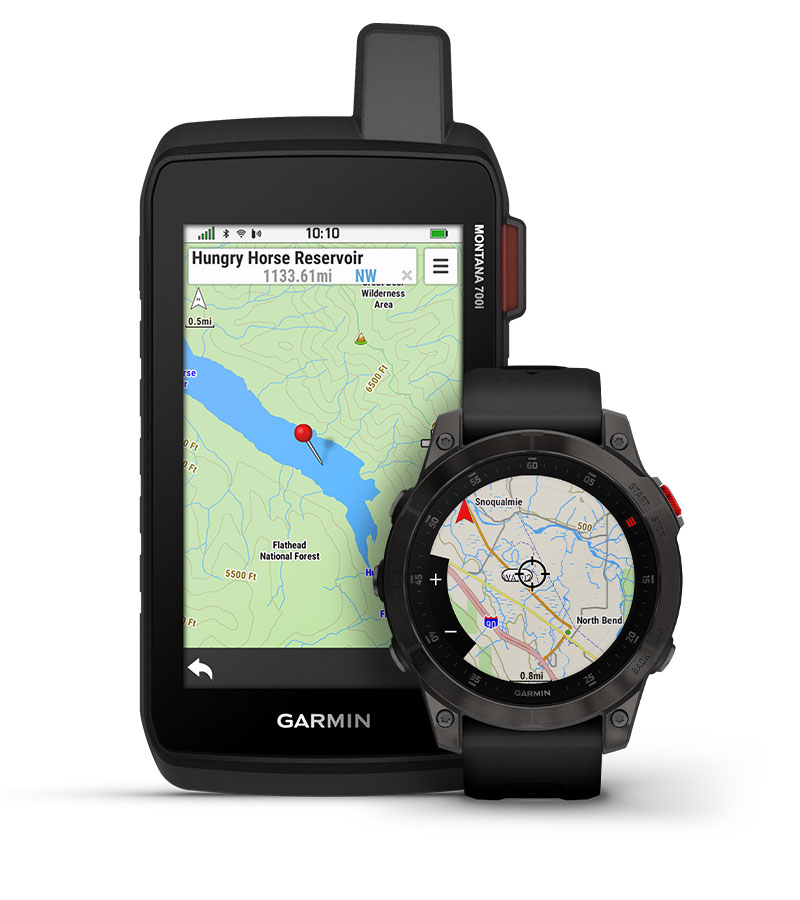
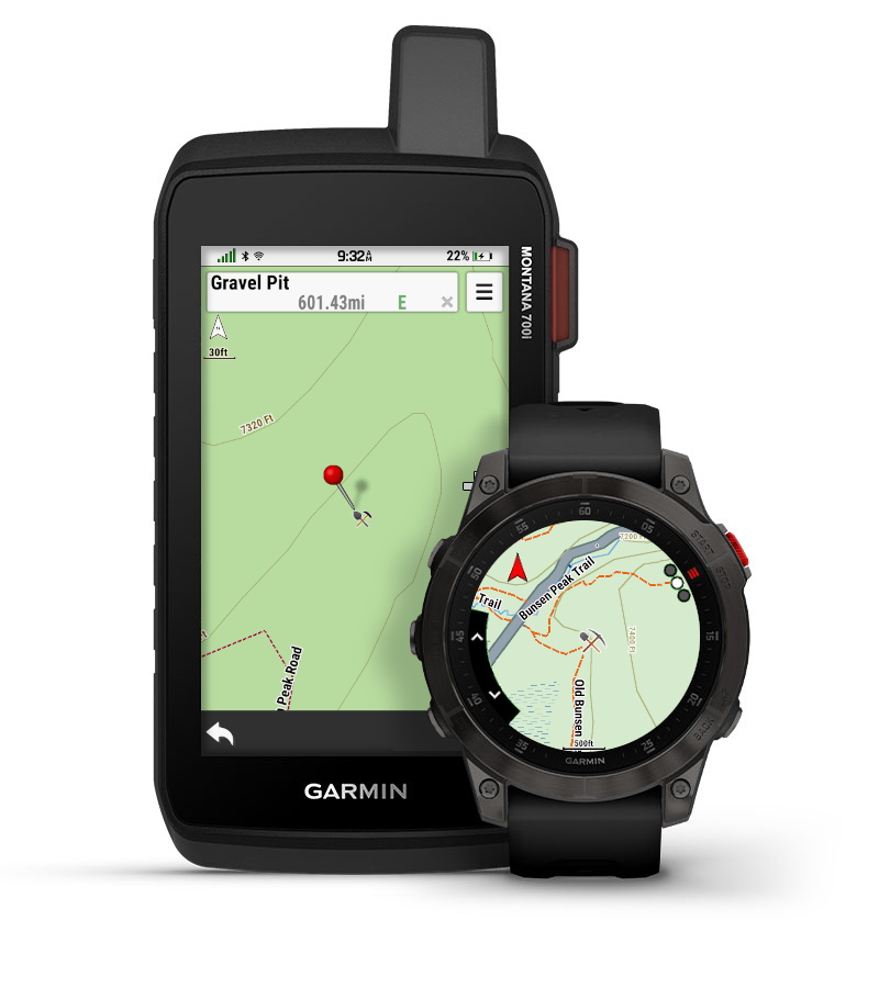
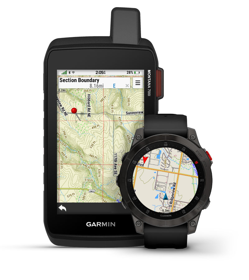
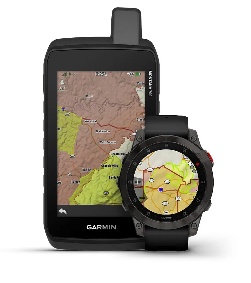
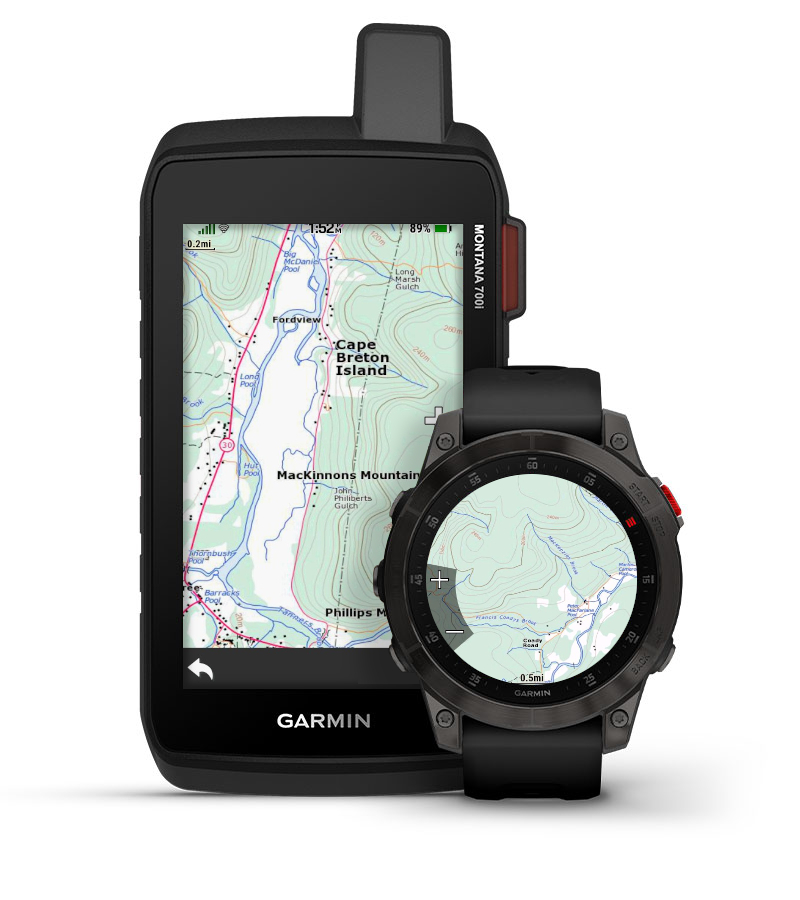
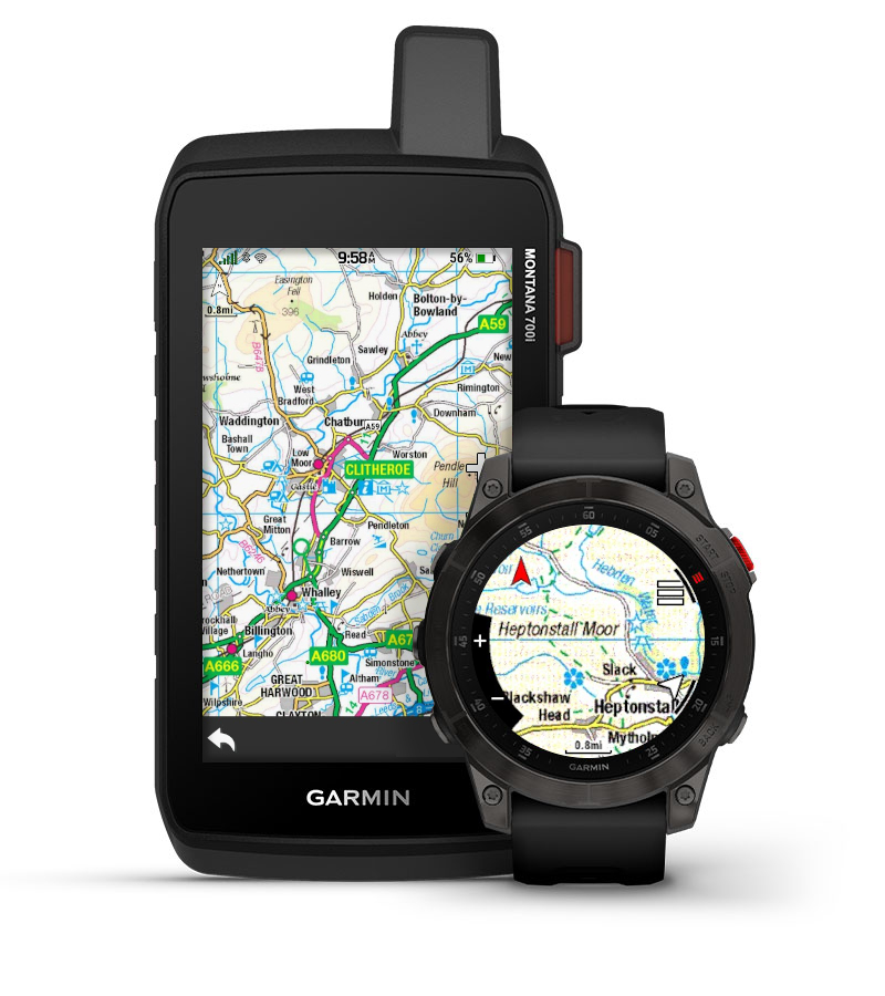
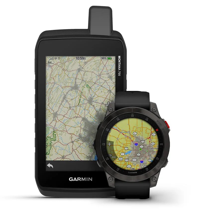
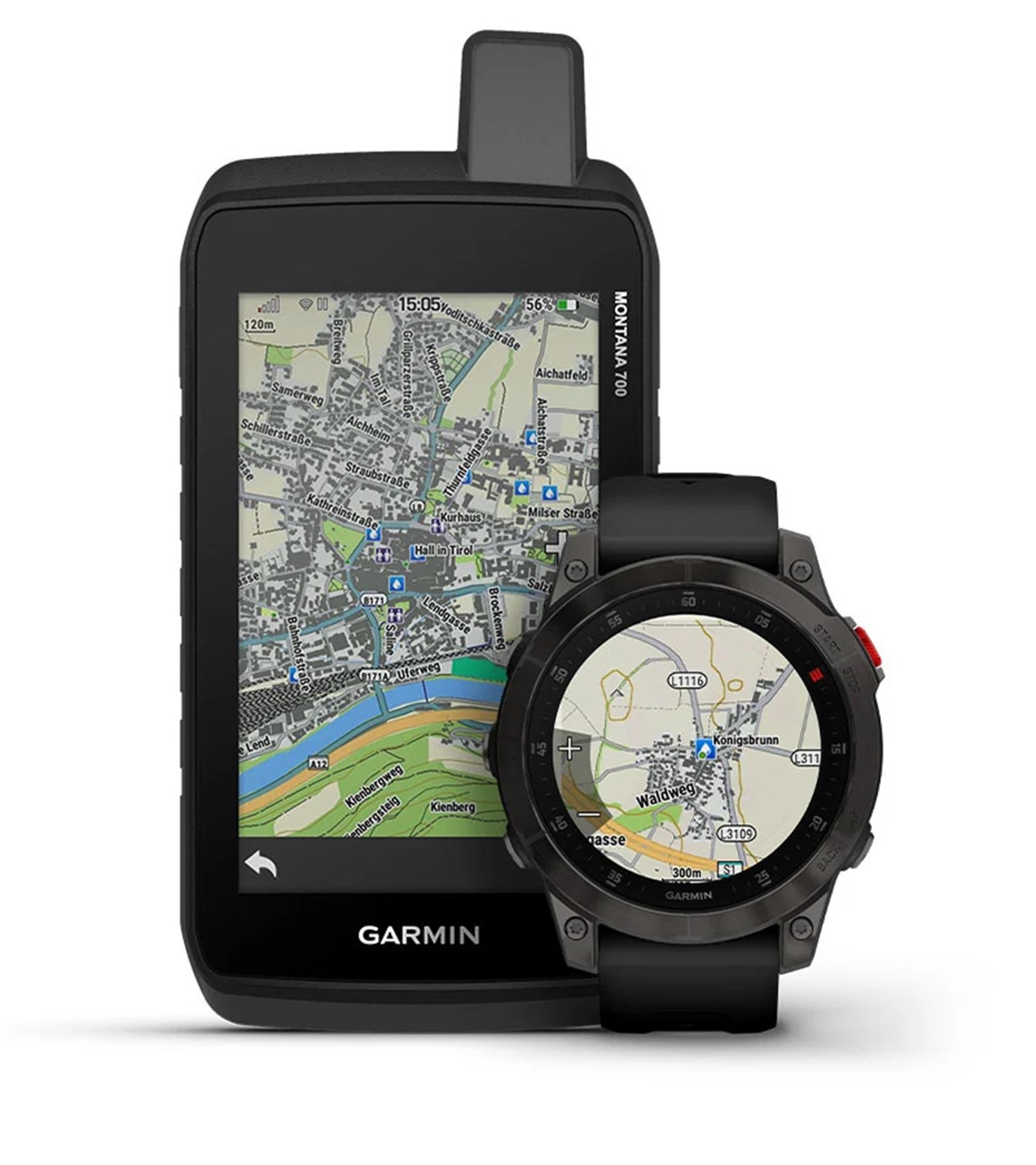
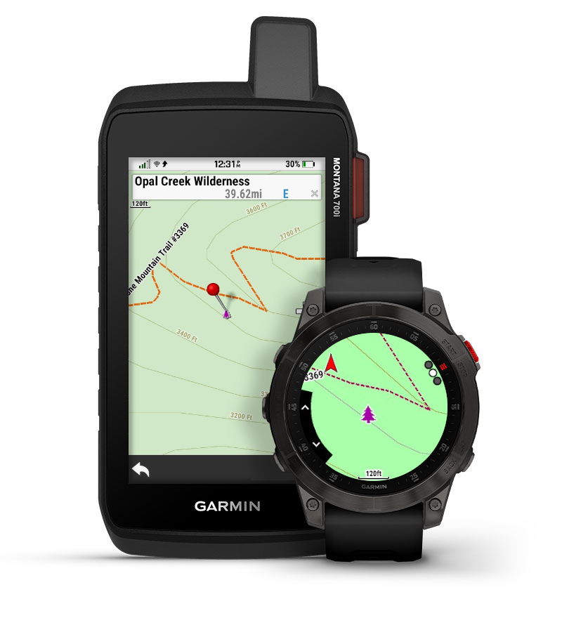
Topo
Topo map content includes multiple layers of map information by state that can be enabled or disabled individually once downloaded. This provides more detail when compared to the TopoActive map that comes pre-loaded on compatible Garmin devices.
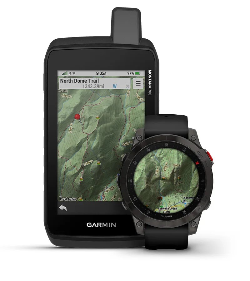
HD Contours
Provides elevation mapping with premium contours, comparable to 1:24,000 scale (24K) USGS maps.
Coverage is available for all 50 U.S. States.
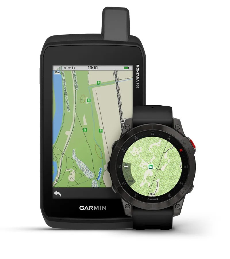
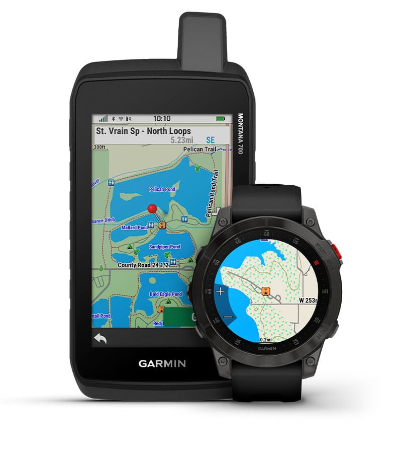
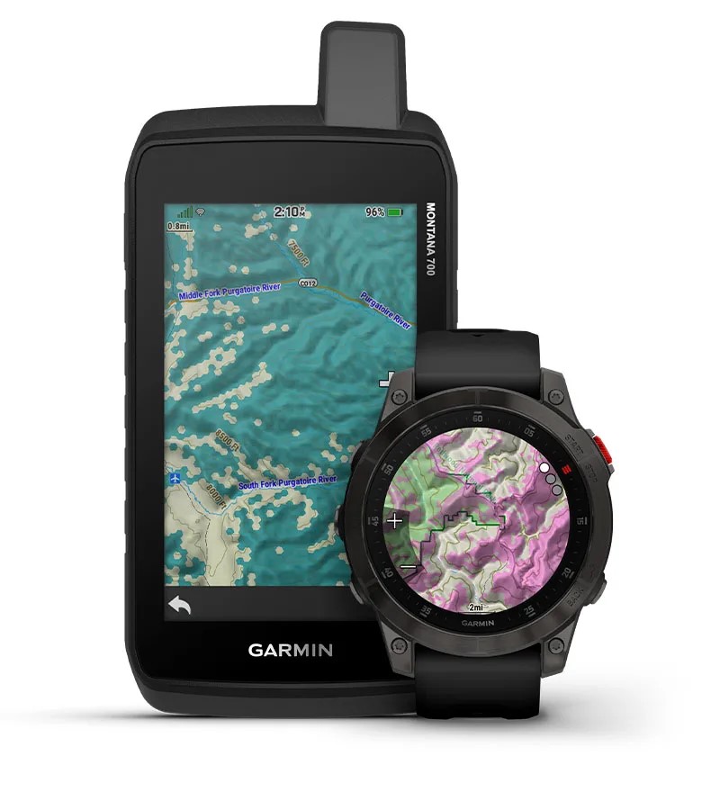
Hydro
Detailed mapping of surface water features from the National Hydrography Dataset (NHD), including inland lakes, rivers, streams, and wetland features.
Coverage is available for all 50 U.S. States.
NOTE: This does not include depth range shading, shallow water shading, or lake contours.
Outdoor POI
Points of interest for natural features and outdoor destinations.
Coverage is available for all 50 U.S. States.
PLSS (Public Land Survey System)
Displays Bureau of Land Management townships, range and section information, and USGS quad locations.
Coverage is available for all 50 U.S. States.
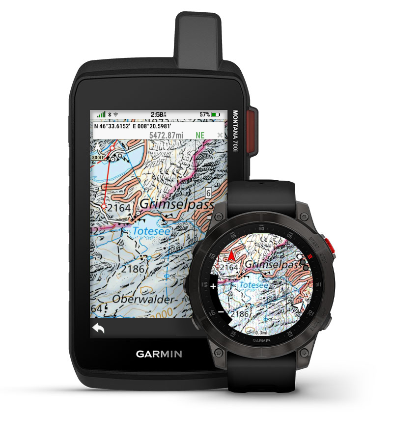
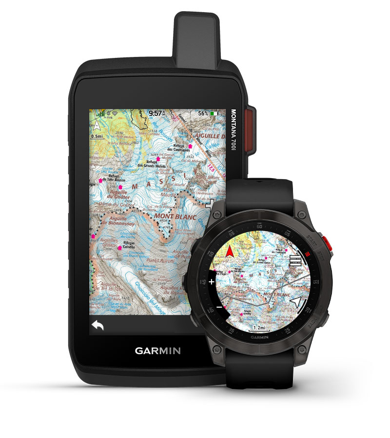
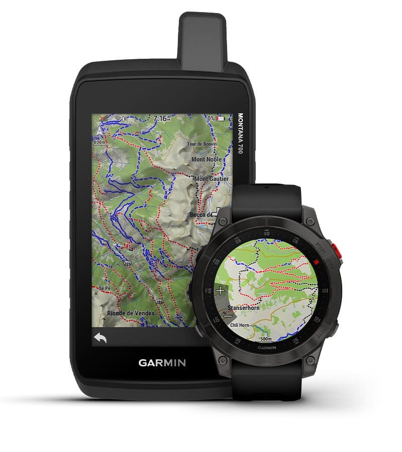
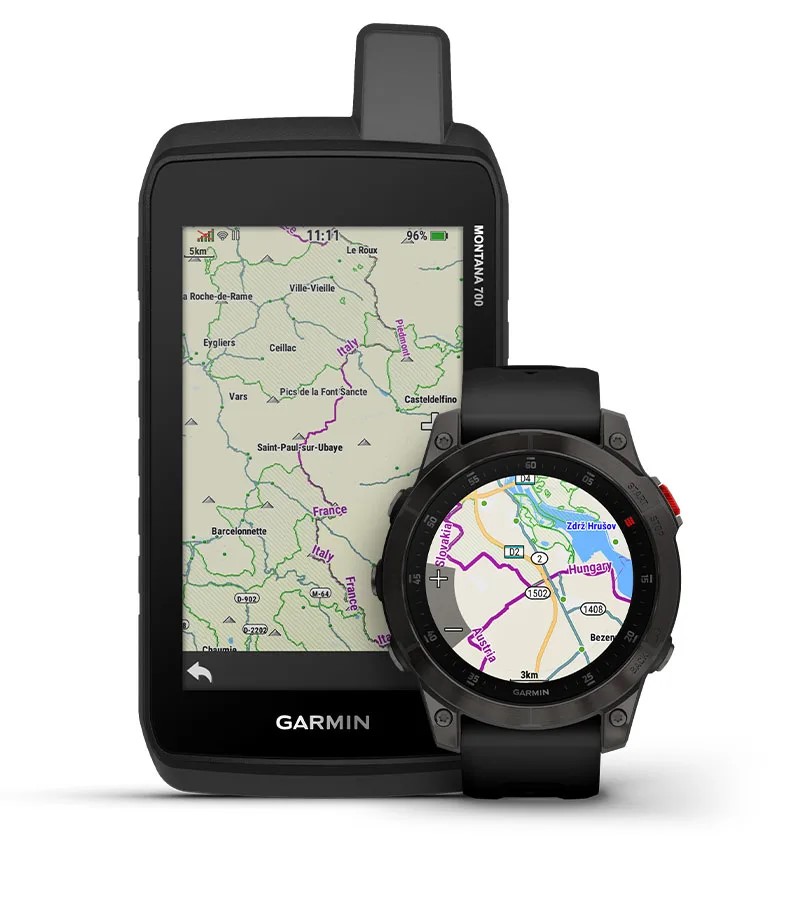
TOPO Pro
Provides mapping content from premium local providers for multiple countries in Europe, with roads and trails, points of interest, contour lines, and more.
Coverage is available for Albania, Andorra, Austria, Bosnia and Herzegovina, Croatia, Czechia, Finland, France, Germany, Italy, Kosovo, Liechtenstein, Monaco, Montenegro, North Macedonia, Norway, San Marino, Serbia, Slovenia, Spain, Sweden, Switzerland, and Vatican City.
Parcels
Also known as state plat maps, these maps help to identify landowner names and boundaries for public/private land types. For instructions on how to view additional map information on a watch, see Viewing Additional Map Information on Outdoor Watches.
Coverage is available for all 50 U.S. States (see Parcel Coverage PDF), Austria, Belgium, Croatia, Czechia, Denmark, Estonia, Finland, France, Great Britain, Iceland, Ireland, Israel, Latvia, Luxembourg, the Netherlands, New Zealand, Norway, Slovakia, Slovenia, South Africa, and Spain.
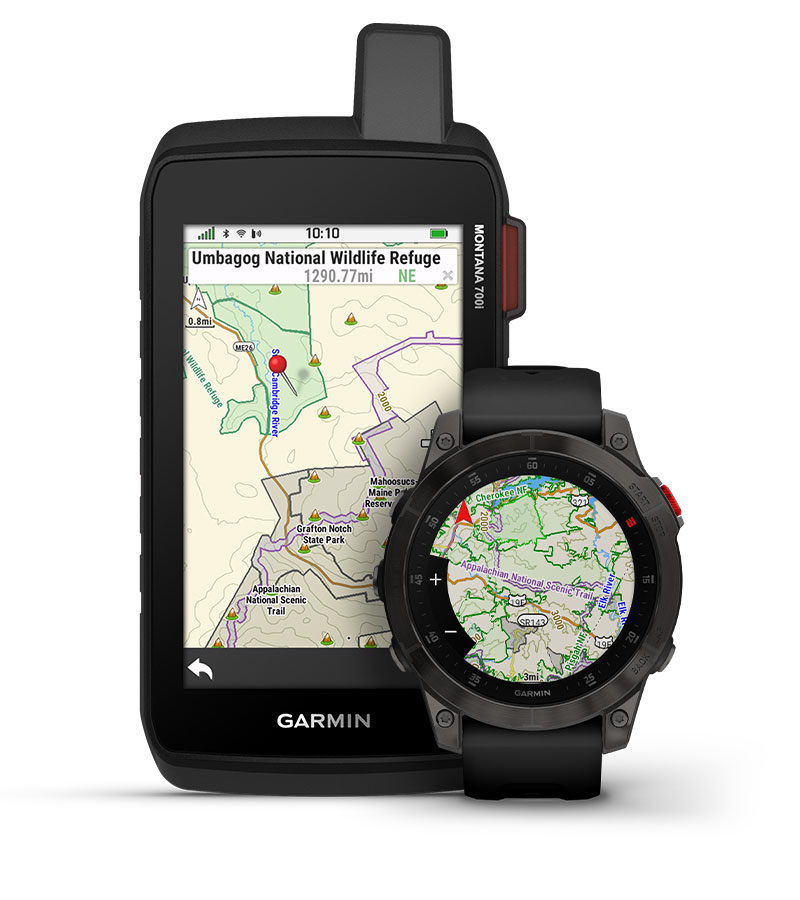
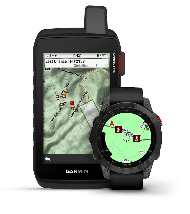
Public Lands
These maps include public land boundaries to show the differences in National Forest, reservations, BLM, etc.
Coverage is available for all 50 U.S. States and Canada.
NOTE: Public land maps already come pre-loaded on the Montana® 700, Montana® 700i, Montana® 750i, tactix® 7 - AMOLED, tactix® 7 – Standard Edition, tactix® 7 – Pro Edition, and tactix® 7 – Pro Ballistics Edition, tactix® 8 - AMOLED Editions, tactix® 8 - Solar Editions, Tread® 2, Tread® 2 - Overland Edition, Tread® 2 - SxS Edition, Tread® - Overland Edition, Tread® - SxS Edition, Tread® XL - Overland Edition, Tread® XL - Baja Chase Edition, Tread® XL - Baja Race Edition, Arctic Cat G8 Display, and Kawasaki RIDGE 8" Tread Display devices without an Outdoor Maps+ subscription.
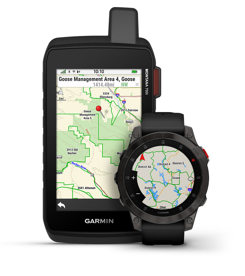
HMU (Hunting Management Units)
Contains full state hunting management unit boundaries for multiple species (where applicable).
Coverage is available for all 50 U.S. States and Canada.

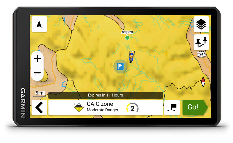
CWD Areas
See where chronic wasting disease-restricted areas exist, and know the regulations for that specific area. Know before you go — harvesting deer in CWD-positive areas may come with hunting, transportation and additional restrictions.
Coverage is available in parts of Canada (Alberta, British Columbia, Manitoba, Saskatchewan) and the United States (all states except for Alaska, Arizona, Connecticut, Delaware, Georgia, Maine, Massachusetts, New Hampshire, New Jersey, Oregon, Rhode Island, South Carolina, and Vermont).
Hunting Stand Locations
This feature shows the location of more than 200,000 hunting stands, lookout points, platforms and viewpoints throughout popular European hunting areas.
Coverage includes Armenia, Austria, Azerbaijan, Belgium, Bosnia and Herzegovina, Bulgaria, Croatia, Cyprus, Czechia, Denmark, Estonia, Finland, France, Georgia, Germany, Greece, Hungary, Iceland, Ireland, Italy, Kosovo, Latvia, Liechtenstein, Lithuania, Luxembourg, Malta, Moldova, Montenegro, the Netherlands, North Macedonia, Norway, Poland, Portugal, Romania, San Marino, Serbia, Slovakia, Slovenia, Spain, Sweden, Switzerland, Türkiye, Ukraine, the U.K. and Vatican City.
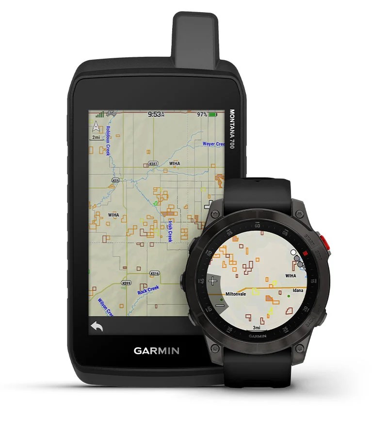
Walk-in Hunting Areas
Expand your hunting opportunities with this map layer. See active walk-in hunting property boundaries where private landowners permit access to their properties for hunting through voluntary public access programs. Always defer to the most up-to-date information from local regulatory agencies and posted signage, and remain aware of property boundaries.
Coverage is available in parts of the United States (Colorado, Idaho, Kansas, Minnesota, Montana, Nebraska, North Dakota, Oregon, and South Dakota).
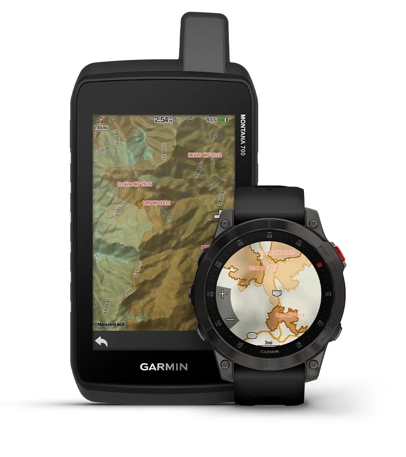
Burn Zones
See where wildfires or controlled burns have happened, with important details such as when the burn took place.
Coverage is available for all 50 U.S. States.
Satellite Imagery
Worldwide coverage that provides a photorealistic perspective from above. Imagery resolution may vary.
NOTE: Satellite imagery is already available to download for free on compatible Garmin handheld devices and compatible Tread® GPS navigators without an Outdoor Maps+ subscription.

Raster Maps
Highly detailed raster maps that display local information — such as trailheads and trails, camping areas, points of interest, water sources and more — from leading providers. Map content and scale will vary according to sources and region.
USGS Quads
High-quality 1:24,000 scale U.S. Geological Survey raster maps that display terrain contours, trailheads, camping areas, trails, points of interest, water sources, and more.
Coverage is available for all 50 U.S. States.
NRCanTopo
High quality national topo raster maps produced by Natural Resources Canada (NRC) that display terrain contours, trails, points of interest, water sources, and more.
Coverage is available for Canada.
TOPO Swiss
High quality national topo raster maps produced by swisstopo that display terrain contours, trails, points of interest, water sources, and more.
Coverage is available for Switzerland.
IGN France
High quality national topo raster maps produced by the Institut Géographique National (IGN) that display terrain contours, trails, points of interest, water sources, and more.
Coverage is available for France.
Raster Maps of Great Britain
Raster maps at a scale of 1:10,000 provided by Ordnance Survey as a part of their free OpenData. Contains public sector information licensed under the Open Government Licence v3.0.
Coverage is available for Great Britain.
FS Topo
Raster United States Forest Service Topographic Maps for all National Forests in the United States and territory of Puerto Rico. Scale is 1:24,000, except in Alaska where it is 1:25,000. USDA Forest Service, Geospatial Technology and Applications Center (GTAC).
Coverage is available for all 50 U.S. States and Puerto Rico.

NZTopo50
Raster Maps of New Zealand at a scale of 1:50,000. Maps provided by Land Information New Zealand (LINZ).
Coverage is available for New Zealand.

Night Lights
Map depicting the amount of artificial light pollution affecting the night sky. Generally used for camping and star gazing. Where there is a darker gradient of gray it indicates a higher concentration of lights in that area.
Coverage is available between 80ºN latitude and 60ºS latitude.
Ride Trail Map
Find your next ride with a detailed mountain bike trail network overlay for the Alps region from Swiss Sports Publishing GmbH.
Coverage is available for Austria, France, Germany, Italy, Portugal, Slovenia, Spain, and Switzerland.
NOTE: Not compatible with the Tread® 2, Tread® 2 - Overland Edition, Tread® 2 - SxS Edition, Tread® - Overland Edition, Tread® - SxS Edition, Tread® XL - Overland Edition, Tread® XL - Baja Chase Edition, and Tread® XL - Baja Race Edition GPS navigators.
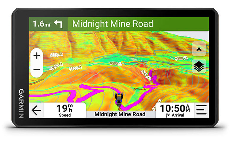
HD Relief Shading
Improved mapping detail with shading that helps visually depict elevation changes and terrain features.
Coverage is available for all 50 U.S. States, Andorra, Austria, Belgium, Canada, Czechia, Denmark, Estonia, Finland, France, Germany, Iceland, Ireland, Italy, Latvia, Liechtenstein, Luxembourg, Malta, Monaco, the Netherlands, Norway, Portugal, San Marino, Slovakia, Slovenia, Spain, Sweden, Switzerland, United Kingdom, and Vatican City.
Buildings
See 2D building footprints for multiple countries.
Coverage is available for Albania, Andorra, Anguilla, Antigua and Barbuda, Armenia, Australia, Austria, Azerbaijan, the Bahamas, Barbados, Belgium, Belize, Bosnia and Herzegovina, British Virgin Islands, Bulgaria, Canada, Cayman Islands, Costa Rica, Croatia, Cyprus, Czechia, Denmark, Dominica, Dominican Republic, Dutch Caribbean, El Salvador, Estonia, Faroe Islands, Finland, France, Georgia, Germany, Greece, Grenada, Guadalupe, Guatemala, Haiti, Honduras, Hungary, Iceland, Ireland, Israel, Italy, Jamaica, Kosovo, Latvia, Liechtenstein, Lithuania, Luxembourg, Malta, Martinique, Mexico, Moldova, Monaco, Montenegro, the Netherlands, New Zealand, Nicaragua, North Macedonia, Norway, Panama, Poland, Portugal, Puerto Rico, Romania, San Marino, Saint Barthélemy, Saint Kitts and Nevis, Saint Lucia, Saint, Martin, Saint Vincent and the Grenadines, Serbia, Slovakia, Slovenia, South Africa, Spain, Sweden, Switzerland, Trinidad and Tobago, Türkiye, Turks and Caicos Islands, Ukraine, U.K., U.S., U.S. Virgin Islands, and Vatican City.
Boundaries
See European countries, international borders, states, provinces, counties and more. Easily disable the borders when you do not need them.
Coverage is available for Albania, Andorra, Armenia, Austria, Azerbaijan, Belgium, Bosnia and Herzegovina, Bulgaria, Croatia, Cyprus, Czechia, Denmark, Estonia, Faroe Islands, Finland, France, Georgia, Germany, Greece, Hungary, Iceland, Ireland, Italy, Kosovo, Latvia, Liechtenstein, Lithuania, Luxembourg, Malta, Moldova, Monaco, Montenegro, the Netherlands, North Macedonia, Norway, Poland, Portugal, Romania, San Marino, Serbia, Slovakia, Slovenia, Spain, Sweden, Switzerland, Türkiye, Ukraine, United Kingdom, and Vatican City.
Boat Ramps
Provides locations of boat ramps and kayak and canoe launch sites with the ability to search for trailerable or non-trailerable ramps. Trailerable ramps are indicated with a solid icon ![]() on the map and non-trailerable ramps are indicated with an outlined icon
on the map and non-trailerable ramps are indicated with an outlined icon ![]() .
.
Coverage is available for all 50 U.S. States.
![]()
![]()
Heritage Points
See castles, forts, lighthouses, religious sites, and other historic points of interest around the world overlaid on a map.
Campgrounds
Find a spot to spend the night and know which amenities are provided for the U.S. and Canada.
NOTE: Campgrounds already come pre-loaded on the Tread® 2, Tread® 2 - Overland Edition, Tread® 2 - SxS Edition, Tread® - Overland Edition, Tread® - SxS Edition, Tread® XL - Overland Edition, Tread® XL - Baja Chase Edition, Tread® XL - Baja Race Edition, Arctic Cat G8 Display, and Kawasaki RIDGE 8" Tread Display without an Outdoor Maps+ subscription.
DeLorme Atlas and Gazetteer Points
Locate U.S. points of interest, such as unique natural features like mountains and waterfalls, available outdoor recreational activities, family-friendly attractions, recreational areas such as state/national parks/forests and places to fish or hunt.
USFS
View United States Forest Service locations for camping, hiking, picnicking, outdoor learning, nature viewing, fishing, and more.
NOTE: USFS already comes pre-loaded on the Tread® 2, Tread® 2 - Overland Edition, Tread® 2 - SxS Edition, Tread® - Overland Edition, Tread® - SxS Edition, Tread® XL - Overland Edition, Tread® XL - Baja Chase Edition, Tread® XL - Baja Race Edition, Arctic Cat G8 Display, and Kawasaki RIDGE 8" Tread Display without an Outdoor Maps+ subscription.
LTE Voice Coverage
See if voice coverage is available with a map layer showing LTE coverage for Verizon, AT&T, US Cellular, and T-Mobile wireless carriers throughout the U.S., Puerto Rico, and the U.S. Virgin Islands.
Our LTE Voice Coverage map was last updated with data from December 31, 2023. LTE Voice Coverage displayed on Outdoor Maps+ comes from the FCC Broadband Data Collection's National Broadband Map, which includes coverage availability reported by Internet Service Providers (ISPs). The FCC updates this data twice per year, approximately 6 months after it is received from the ISPs, and we update our map within about 2 months. The data is not available for every LTE services provider or every geographic region. For more information about the FCC Broadband Data Collection, please visit https://www.fcc.gov/BroadbandData.
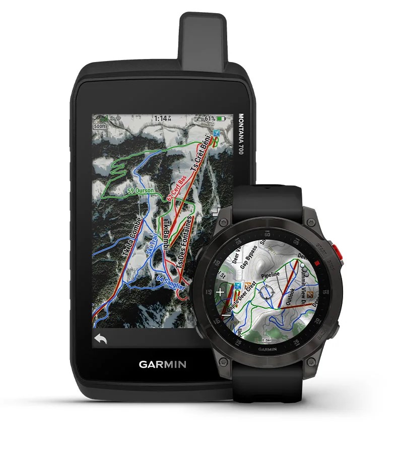
SkiView and SnowView Features
View ski lifts and downhill ski run names with difficulty information for thousands of ski resorts worldwide plus hundreds of miles of cross-country and skate skiing trails. Overlay this information on the map with elevation and terrain features. SnowView maps show you winter satellite imagery for more than 1,000 ski areas worldwide to help you plan your adventures on the slopes.
For more details, see - Which Ski Resorts are Available in the Garmin Ski Maps?
Avalanche Risk Report
Access avalanche reports directly on your compatible device or in the Tread® app. Data and coverage provided by Avalanche.org in North America. Data and coverage provided by Avalanches.org in Europe.
NOTE: Compatible only with the Tread® 2, Tread® 2 - Overland Edition, Tread® 2 - SxS Edition, Tread® - Overland Edition, Tread® - SxS Edition, Tread® XL - Overland Edition, Tread® XL - Baja Chase Edition, Tread® XL - Baja Race Edition, Arctic Cat G8 Display, and Kawasaki RIDGE 8" Tread Display.
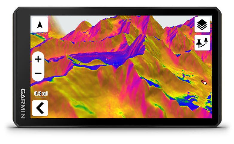
Slope Angle
Colors depict the severity of a slope so a rider can easily see slopes that could be prone to an avalanche.
Coverage is available for United States, Canada, Andorra, Austria, Belgium, Czechia, Denmark, Finland, France, Germany, Iceland, Ireland, Italy, Liechtenstein, Luxembourg, Malta, Monaco, Norway, Portugal, San Marino, Slovenia, Spain, Switzerland, and United Kingdom.
NOTE: Compatible only with the Tread® 2, Tread® 2 - Overland Edition, Tread® 2 - SxS Edition, Tread® - Overland Edition, Tread® - SxS Edition, Tread® XL - Overland Edition, Tread® XL - Baja Chase Edition, Tread® XL - Baja Race Edition, Arctic Cat G8 Display, and Kawasaki RIDGE 8" Tread Display.
Slope Aspect
Colors depict the direction of the slope face so a rider can stay aware of avalanche-prone slope faces. Slopes can become dangerous from directional wind and sun exposure.
Coverage is available for United States, Canada, Andorra, Austria, Belgium, Czechia, Denmark, Finland, France, Germany, Iceland, Ireland, Italy, Liechtenstein, Luxembourg, Malta, Monaco, Norway, Portugal, San Marino, Slovenia, Spain, Switzerland, and United Kingdom.
NOTE: Compatible only with the Tread® 2, Tread® 2 - Overland Edition, Tread® 2 - SxS Edition, Tread® - Overland Edition, Tread® - SxS Edition, Tread® XL - Overland Edition, Tread® XL - Baja Chase Edition, Tread® XL - Baja Race Edition, Arctic Cat G8 Display, and Kawasaki RIDGE 8" Tread Display.
Garmin Trails
Garmin Trails provides access to thousands of trails in the Garmin Connect™ app or the Garmin Explore™ app. Filter and find the trail with the features you are wanting. Review the details that include difficulty, distance, total ascent & descent along with reviews and photos from others in the community. With an active Garmin Connect+ or Outdoor Maps+ subscription, the trails can be sent directly to your compatible device.

Huts
This database includes huts, mountain hostels, refuges, or similar facilities in France, as well as business information. Rich content depends on local provider. Updated annualy.

Survey Marks
This feature includes more than 803k benchmarks in the U.S. and more than 31k trig points in Great Britain. These survey marks indicate the precise vertical or horizontal position of various locations. Outdoor enthusiasts who enjoy hobbies such as benchmark hunting or trig bagging can search for these survey marks to use as a destination and grab a photo as evidence that they’ve been there.

Trailmaps
This map overlay includes the waymarked/blazed international, national and local trail network, with physical waymark color and well-known trail names across many European countries.
